I remember standing on a ridge in the Cairngorms back in 2012, watching a group of incredibly well-equipped hikers stare blankly at their phones while the wind began to scream. They had checked the app, seen a little sun icon, and decided that was enough. They didn’t understand that knowing how to read a mountain weather forecast isn’t about looking at a pretty picture of a cloud; it’s about deciphering the violent reality of wind gusts, cloud ceilings, and rapid pressure drops. Most people treat a forecast like a suggestion, but on a summit, a forecast is a boundary between a good day and a rescue mission.
I’m not here to give you a lecture on meteorology or sell you a subscription to some premium weather service. I want to teach you how to look at the data and actually see the mountain. I will show you which numbers matter—like the wind chill and the rate of change—and which ones are just noise. This isn’t about being a pessimist; it’s about having the technical clarity to know exactly when to push on and, more importantly, when to turn back.
Table of Contents
Alpine Weather Patterns Explained Beyond the Sunny Icon
The problem with most apps is that they give you a single number for a single location, usually the nearest village in the valley. If you’re standing in a village at 200m, the forecast might say 12°C and sunshine, but that is a lie once you start climbing. You have to account for understanding altitudinal temperature lapse rate; as a rule of thumb, expect it to drop about 0.6°C for every 100m you ascend. I’ve seen groups reach a col thinking they were in mild spring weather, only to find themselves shivering in sub-zero conditions because they ignored the vertical reality.
It isn’t just the temperature, either. You need to look at the impact of wind speed on mountaineering specifically at the summits. A 15mph breeze in the glen feels like a nuisance, but that same wind, compressed and accelerated over a ridge, becomes a physical force that can strip heat from your body in minutes. When you are interpreting barometric pressure changes, don’t just look for a “falling” trend; look at the speed of that drop. A rapid plunge often precedes a window of instability that no amount of optimism can outrun.
Reading Topographic Weather Maps Without Losing Your Mind
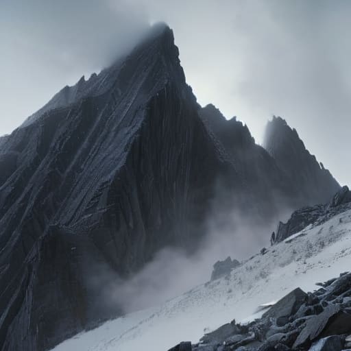
When you move from a text-based forecast to a topographic weather map, the sheer amount of data can feel like a sensory assault. You aren’t just looking at where the rain is falling; you are looking at how that rain interacts with the verticality of the terrain. Most people see a contour line and think about the effort of the climb, but I want you to see it as a barrier or a funnel. I’ve spent many an afternoon watching a front hit a ridge, and the map will show you the movement, but it won’t show you the sudden, violent compression of air that happens when wind is forced up a narrow glen.
To make sense of the chaos, you have to start interpreting barometric pressure changes alongside the visual symbols. If you see the isobars—those lines of constant pressure—tightening together on your map, it’s a direct signal that the wind is about to pick up significantly. I always tell my groups that a tightening pressure gradient is often more telling than a simple rain icon. It’s about the momentum of the system, not just the presence of moisture. If those lines are squeezing together as they approach your planned route, you aren’t just looking at a breeze; you’re looking at a significant increase in the impact of wind speed on mountaineering safety.
Five things the forecast won't tell you directly
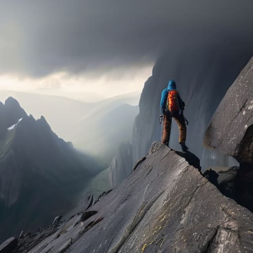
- Stop looking at the temperature and start looking at the wind chill. I’ve seen people freeze in single digits because they saw ‘5°C’ on a screen and didn’t account for a 40mph gust on a ridge that makes it feel like minus ten. The temperature tells you how much you’ll sweat; the wind tells you how much you’ll suffer.
- Learn to read the ‘cloud ceiling’ rather than just the chance of rain. A 20% chance of showers sounds manageable, but if that rain is coming in thick, low-level clouds at 400 metres, you aren’t just getting wet—you’re losing all visual references and your ability to navigate.
- Check the timing of the pressure changes, not just the direction. If the barometer is dropping sharply while you’re halfway up a climb, that’s your signal to start thinking about the descent. I’ve learned the hard way that a sudden dip in pressure is often the only warning you get before the weather turns from ‘unsettled’ to ‘dangerous’.
- Understand that ‘localized’ is a polite way of saying the forecast is a guess. A forecast might say ‘clear skies’ for the valley, but if there’s a thermal lift building up, you could be staring at a cumulonimbus anvil over your head by lunchtime. Always assume the mountain will create its own microclimate regardless of what the app says.
- Look for the trend, not the snapshot. Don’t just check the forecast once on your kitchen table; check the progression. Is the wind speed increasing every three-hour interval? Is the moisture level creeping up? If the trend is moving toward worse conditions, your window of safety is closing, regardless of how much you wanted to reach the summit.
The Cost of Optimism
A weather forecast isn’t a promise of what you want to happen; it’s a map of what might go wrong. I’ve seen too many people treat a ‘sunny intervals’ icon like a guarantee, only to find themselves shivering on a ridge because they ignored the wind gusts and the dropping cloud ceiling. In the mountains, the difference between a good day and a rescue mission is usually just one person deciding that the forecast was being ‘a bit too cautious.’
Bridget Halloran
The Decision is Yours
At the end of the day, reading a forecast isn’t about predicting the future with absolute certainty; it’s about managing your own margin for error. You have to look past the sunny icons and scrutinize the wind gusts, the cloud base, and those subtle shifts in pressure that signal a front moving in faster than the summary suggests. If the topographic maps show a tightening pressure gradient or the wind speeds on the ridge are trending upward, you have your answer. Remember that the forecast is a tool, not a guarantee, and your ability to synthesize the temperature, the moisture, and the timing is what separates a successful outing from a hasty retreat in the dark.
I have spent twenty-two years watching people walk into trouble because they chose to believe the best-case scenario instead of the most likely one. There is no shame in turning back when the numbers don’t add up; in fact, that is often the most professional decision you can make. The mountains aren’t going anywhere, and they certainly won’t care if you miss your summit window. True competence in the outdoors isn’t about pushing through the gale; it’s about having the discipline to respect the data so that you—and the wildlife we’re all there to see—can come back and do it all again tomorrow.
Frequently Asked Questions
What do I do when the forecast says 'sunny intervals' but the clouds are already sitting heavy on the ridge?
You trust your eyes, not the icon. “Sunny intervals” is often a polite way for a forecaster to say the sky is broken, and when those clouds are sitting heavy on the ridge, the moisture is already there. I’ve seen too many groups get caught in a sudden drop in visibility because they were waiting for a sun that wasn’t coming. If the ridge is shrouded, the weather has already arrived. Turn back or find lower ground.
How much weight should I actually give to a local mountain forecast versus a general national weather app?
If you’re making decisions based on a general national app, you’re essentially planning for a different landscape. A national forecast might tell you it’s a pleasant 12°C in the valley, but it won’t tell you that the wind chill on a ridge will drop you to freezing in minutes. I’ve seen too many groups caught out because they trusted a broad forecast over a localized mountain report. Always prioritize the mountain-specific data; it’s the only thing that accounts for the terrain you’re actually standing on.
At what specific wind speed or temperature drop should I stop looking at the map and start planning my descent?
There isn’t a magic number, but I start getting nervous when gusts hit 40mph or if the temperature drops more than five degrees in an hour. If the wind is high enough to make walking upright a chore, or if the cloud ceiling is dropping faster than you can descend, you’ve already missed the window. Don’t wait for a gale; if the trend looks sharp, start the descent while you still have the daylight to do it.