I remember sitting in a sodden tent three years ago, listening to the rhythmic slap of rain against a heavy-duty bivvy, realizing I had spent four hours obsessing over the weight of my titanium spork while completely ignoring the reality of the wind speeds on the ridge above me. Most of the advice you see online about how to plan a bikepacking trip is focused on the wrong things—it’s all about the shiny new carbon racks and the most expensive GPS units. They sell you a dream of effortless gliding through golden valleys, but they rarely mention the grit in your teeth or the moment your heavy, overstuffed panniers start to make every single hill feel like a personal insult.
I am not here to sell you a lifestyle or a specific brand of expensive nylon. Instead, I want to talk about the logistics that actually matter: the weight-to-utility ratio, the unforgiving nature of daylight, and how to read a topographic map when your hands are numb. I will tell you exactly what I have used for over five hundred miles of mixed terrain and, more importantly, what I left behind in the garage. This is about planning for the gap between your best-case scenario and the sudden, messy reality of the mountains.
Table of Contents
Bicycle Touring Route Finding for When the Daylight Fails
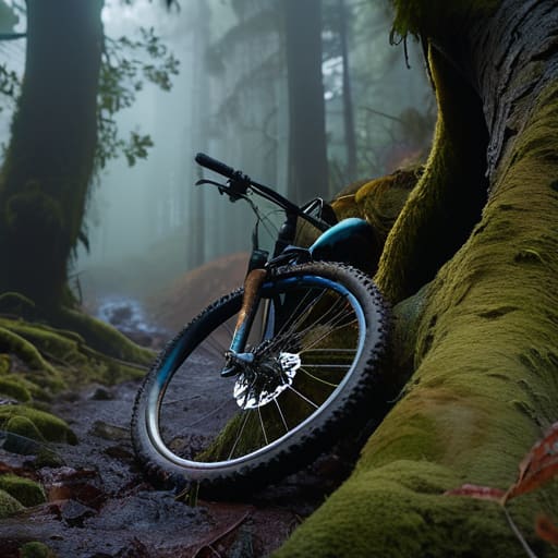
The biggest mistake I see in off-road cycling adventure planning is the assumption that a digital map is a substitute for situational awareness. When you’re halfway through a stage and the light begins to fail, a GPS screen can be a cruel liar. It might show a direct line through a forest, but it won’t tell you that the track has been washed out by last night’s rain or that the gradient is steep enough to make your heavy bike unmanageable in the dark. I’ve spent too many evenings watching groups realize their “shortcut” is actually a vertical scramble through brambles.
Effective bicycle touring route finding requires a layer of redundancy that most people ignore. If you are relying solely on a phone, you are one dead battery away from a very long, very cold night. I always carry a physical map and a compass, even if I haven’t used them for navigation in years; I use them to sanity-check the digital data. You need to know where your planned campsites are relative to the last reliable water source and the descent ahead. If the light is fading and you haven’t reached your waypoint, you don’t push for the summit—you find a safe place to stop.
Self Supported Cycling Preparation for the Unpredictable Ridge
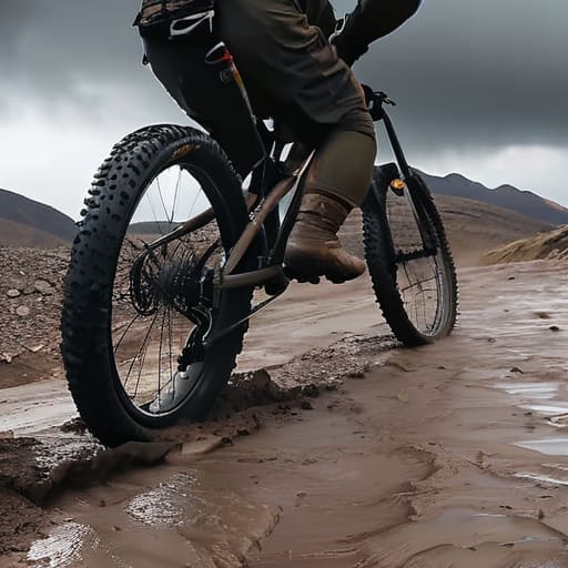
When you’re halfway up a technical climb and the wind starts howling through the spokes, your preparation stops being about “adventure” and starts being about survival. For me, self-supported cycling preparation isn’t about the shiny new components; it’s about the margin for error. I’ve spent twenty-two years watching people underestimate how quickly a ridge line can turn from a scenic viewpoint into a wind tunnel that strips the heat right out of your bones. You need to prepare for the worst-case scenario, not the Instagram version of the trip.
This starts with a ruthless approach to your bikepacking gear checklist. I’ve used my current waterproof shell for three seasons of heavy mist and driving rain in the Cairngorms, and it’s the only reason I haven’t succumbed to hypothermia yet. Don’t just pack the essentials; pack the redundancies. If your weight distribution is off because you’ve crammed too much “just in case” kit into a poorly balanced frame bag, you’ll be fighting the bike as much as the terrain. Keep the heavy stuff low and central, or you’ll find yourself wobbling exactly when you need the most control.
Five Hard Lessons from the Ridge: Planning for Reality
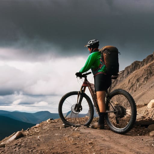
- Stop planning for the best-case scenario. I’ve seen too many people map out a route based on a sunny Tuesday in June, only to find themselves shivering in a bivvy bag when a low-pressure system moves in. When you calculate your daily mileage, add a 20% buffer for fatigue and weather; if you don’t, you’ll be making desperate decisions in the dark.
- Weight is a thief that steals your momentum. I’ve used the Osprey Talon 22 for three seasons of heavy-load trekking and light bikepacking, and it’s reliable, but even with a good pack, every extra gram feels like a kilogram when you’re grinding up a 15% gradient. If you haven’t practiced riding with your full loaded setup on a local hill, you aren’t ready for a trip.
- Respect the daylight window more than your GPS. A digital map will tell you a waypoint is only two miles away, but it won’t tell you those two miles are through a steep, technical descent that will take you forty minutes in the twilight. If you aren’t at your campsite two hours before sunset, you are already behind.
- Water isn’t a given, it’s a variable. I once led a group through a dry spell where the maps promised a stream that hadn’t flowed in three years; we spent four hours diverted from our route just looking for a seep. Don’t just note where the water sources are—verify they are perennial, or carry enough capacity to skip them entirely.
- Layering is about management, not just warmth. I’ve spent twenty years watching people make the mistake of sweating through their base layers because they waited too long to put on a shell. You need to add your layers before you start shivering, and you need to strip them off before you start sweating; once your base layer is damp, your margin for error disappears.
The Cost of Optimism
Most people plan for the ride they want to have, but you need to plan for the one you’re actually going to get. That means calculating your distance based on how you’ll feel at hour eight in a downpour, not how you feel at breakfast in the sunshine.
Bridget Halloran
The Margin Between Planning and Reality
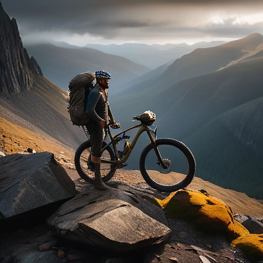
Ultimately, bikepacking isn’t about the perfect gear list or the most efficient route on a digital map; it’s about the margin you leave for error. You’ve looked at the topography, you’ve checked the weight of your kit, and you’ve accounted for the daylight, but you must still respect the fact that nature doesn’t care about your itinerary. Whether it’s a mechanical failure on a remote track or a sudden shift in the wind that turns a gentle descent into a battle, your preparation is what allows you to stay calm when things go sideways. Remember that the most important piece of kit you carry is your ability to turn back when the cost of moving forward outweighs the reward of the destination.
There is a specific kind of quiet that you only find when you are miles from the nearest paved road, sitting by a small stove as the light fails. It is a hard-earned peace, bought with the sweat of a difficult climb and the discipline of proper preparation. If you do the boring work—the layering, the route checking, the weather monitoring—you earn the right to enjoy those moments without the constant, gnawing fear of being unprepared. Don’t chase the summit or the perfect photo; instead, chase the feeling of being entirely capable within a landscape that is as indifferent as it is beautiful.
Frequently Asked Questions
How do I decide between carrying a lightweight tent versus a bivy bag when I'm factoring in unpredictable wind speeds on exposed ridges?
If you’re on an exposed ridge, pick the tent. I’ve spent fifteen years watching people try to sleep in bivy bags when the wind picks up; once that gust hits, you aren’t sleeping, you’re just vibrating in a nylon coffin. I’ve used the Terra Nova Laser for three seasons in gale-force conditions on the Cairngorms, and while it’s light, that extra structure is what keeps you from losing your mind—and your gear—at 2:00 AM.
What is the realistic way to calculate how much weight I can actually carry on a loaded bike without it affecting my ability to navigate technical descents?
You don’t calculate it on paper; you calculate it by how the bike reacts when the terrain gets loose. I’ve spent fifteen years reading how weight shifts on a descent, and the rule is simple: keep the mass low and centered. If you pile everything high on a rear rack, you’ll lose traction the moment you hit a technical corner. Aim for a load that lets you flick the bike, not one that forces you to muscle it.
How can I tell if a weather forecast is actually reliable for high-altitude or coastal routes, rather than just trusting the general regional outlook?
A regional forecast is a polite suggestion, not a plan. For high-altitude or coastal routes, you have to look at the pressure gradients and wind direction, not just the temperature. I’ve seen “sunny intervals” turn into a whiteout because a forecast missed a localized cell hitting a ridge. Check the specific wind speeds at elevation and look for rapid pressure drops. If the model shows a tight pressure gradient, assume the coastal gusts will be twice what the app says.