I’ve spent twenty-two years watching people make the same mistake: they think knowing how to plan a day walk is about downloading the flashiest app or buying a three-hundred-pound jacket that promises to defy the laws of thermodynamics. I once spent four hours in a freezing, sodden ditch in the Cairngorms with a group of “prepared” hikers who had checked a sunshine forecast but hadn’t even looked at the wind speed on the ridge. They had the gear, but they lacked the situational awareness that actually keeps you upright when the mist rolls in at 2:00 PM.
I’m not here to sell you on a lifestyle or a piece of kit I haven’t personally sweated in. Instead, I’m going to show you the unglamorous, vital mechanics of preparation—the stuff that happens in your kitchen or over a map before you even lace up your boots. We’ll talk about interpreting weather warnings, calculating your true turnaround time, and why your most important piece of equipment is actually your own judgment. This is about moving through the landscape with respect, not just checking boxes on a gear list.
Table of Contents
Decoding Weather Forecasting for Hikers and Sudden Shifts
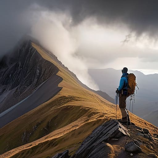
The problem with most weather forecasting for hikers is that people read a single number and call it a day. If the app says 12°C and sunny, you prepare for a stroll. But an app doesn’t account for the wind chill on a north-facing scree slope or the way a cloud base can drop fifty meters in twenty minutes. I’ve seen groups get stuck in a whiteout because they looked at a midday forecast instead of watching the pressure drop or the way the birds were behaving. You need to look at the wind speed at altitude, not just the valley floor, and pay attention to the rate of change.
When the wind picks up or the temperature plummets, your essential walking gear checklist becomes your lifeline. I’ve spent fifteen years watching people realize too late that their “waterproof” jacket is actually just a heavy windbreaker. I’ve used my Arc’teryx Beta AR in sustained gale-force rain for over three hundred days across the Highlands, and it’s the only reason I haven’t succumbed to hypothermia on a ridge. Always assume the forecast is the best-case scenario, and pack for the version that goes wrong.
Reading Hiking Trail Difficulty Levels Before You Leave
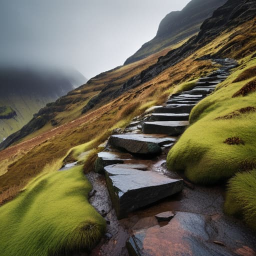
The problem with most online maps is that they treat a “moderate” trail in the Peak District the same as a “moderate” scramble in the Cairngorms. They don’t. When you are looking at hiking trail difficulty levels, you need to look past the color-coded lines and start thinking about terrain and technicality. A Grade 1 scramble might look like a simple stroll on a digital map, but if that ground is covered in wet scree or moss, your difficulty level just jumped a notch. I’ve seen too many people treat a technical ascent like a stroll in the park because the guidebook used a friendly word like “undulating.”
Don’t just look at the distance; look at the cumulative ascent. A five-mile walk with 800 meters of climbing is a completely different beast than a flat five-mile circuit. This is where navigating with topographic maps becomes vital rather than just a backup plan. You need to see the contour lines. If those lines are packed tight together, you aren’t just walking; you are working. If you can’t visualize the steepness before you lace up your boots, you haven’t actually planned the walk yet.
The Three Things That Actually Matter When You're Standing at the Car Park
- Set a hard turnaround time before you even lace up. I’ve seen too many people push through a descent in fading light because they were “almost there,” only to end up navigating a scree slope in the dark. Pick a time—say, 3:00 PM—and if you aren’t at your waypoint by then, you turn back. No arguments.
- Pack for the ridge, not the trailhead. The temperature at the bottom of a valley is a lie told by the sun; once you hit the exposed heights, the wind chill will strip the heat from you faster than you can react. I always carry a mid-layer I’ve used for at least three seasons in sub-zero conditions, even if the forecast looks mild.
- Map your water and fuel stops with more precision than you think you need. It sounds tedious, but running dry halfway through a long ascent is a fast way to lose your mental edge. I plan my stops based on actual elevation gain, not just distance, because climbing 400 metres burns more than just calories—it burns through your reserves.
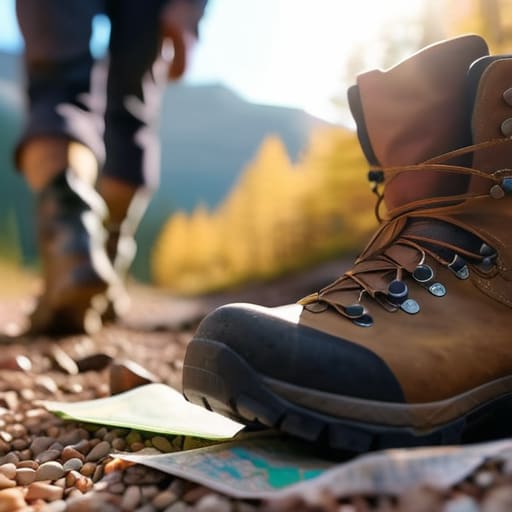
- Check your footwear for more than just tread. I’ve spent years helping people who had perfectly good boots but hadn’t broken them in, or worse, had worn the ankle support down to nothing. If you’re planning a route with technical terrain, ensure your boots have been through at least twenty kilometres of varied ground; I won’t trust a new pair on a long day.
- Leave a specific “if not back by” time with someone. Don’t just say “I’m going for a walk.” Tell them: “I am walking the North Ridge, I should be at my car by 5:00 PM, and if you haven’t heard from me by 7:00 PM, call the authorities.” It’s a small detail that makes the difference between a delayed return and a search operation.
The Cost of Optimism
Most people plan for the walk they want to have, rather than the one the mountain is actually offering; I’ve learned that a day walk isn’t really planned until you’ve decided exactly what time you’re turning back, regardless of how close the summit looks.
Bridget Halloran
The Decision is Yours
Ultimately, planning a day walk isn’t about following a checklist to achieve perfection; it’s about building a buffer between your expectations and the reality of the hill. You’ve looked at the grades, you’ve interrogated the wind speeds, and you’ve accounted for the daylight. Now, you have to trust that process when you’re standing at the trailhead. Remember that the most important piece of kit you carry isn’t a lightweight shell or a high-calorie snack—it is your willingness to turn around. If the clouds are bruising faster than the forecast suggested, or if the terrain feels steeper than the map implied, make the call early. A walk that ends an hour sooner than planned is infinitely better than one that ends in a rescue operation because you were too stubborn to admit the conditions had shifted.
The mountains aren’t going anywhere, and they certainly won’t be offended if you decide to try again on a more sensible Tuesday. There is a specific kind of quiet satisfaction that comes from a day well-managed—the feeling of being tired, perhaps a bit damp, but entirely in control of your own safety. When you respect the margins, you stop fighting the environment and start actually noticing it. You’ll see the peregrine diving or the way the light hits a scree slope, rather than just staring at your feet and worrying about the fading light. Plan well, pack for the worst, and leave room for the unexpected.
Frequently Asked Questions
How do I calculate a realistic turnaround time when I'm worried about losing daylight?
You don’t calculate it; you decide it before you leave the car. I always work backward from sunset, subtracting forty-five minutes for “the buffer”—that’s for the unexpected wrong turn, the sudden cloud cover, or the heavy breathing on a steep ascent. If sunset is 18:00, your hard turnaround is 17:15. If you aren’t at your descent waypoint by then, you turn back. No arguments, no “just one more ridge.” Daylight is a finite resource.
What specific weight-to-warmth ratio should I look for in an emergency layer for a day walk?
Don’t get hung up on specific ratios; they’re often marketing fluff. Instead, look for high-loft synthetic insulation. I’ve used the Rab Microlight Alpine for three seasons in everything from damp Lake District scrambles to freezing summits, and it holds up when things go wrong. It weighs about 300g and packs down small. If you’re stationary in a gale, you need volume, not just a number. If it doesn’t compress, leave it.
How can I tell if a trail's difficulty rating is being influenced by seasonal ground conditions rather than just the terrain?
Difficulty ratings are usually static, based on the permanent terrain, but they don’t account for the sludge. A Grade 1 scramble in August is a different beast than that same scramble in November after a week of heavy rain. If the rating feels “off,” look at the recent rainfall. I always check if the trail is prone to peat hags or scree; once those get wet, they move, and your “easy” walk becomes a navigation and stability nightmare.