I remember standing on a featureless plateau in the Cairngorms, watching a group of hikers stare in panicked silence at a frozen handheld unit. The mist had rolled in like a heavy curtain, the temperature had plummeted ten degrees in twenty minutes, and suddenly, their expensive piece of tech was nothing more than a glorified, useless brick. It’s a specific kind of helplessness that comes when you realize you’ve outsourced your survival to a lithium battery. Most people think they’re prepared because they have a shiny screen and a pre-loaded track, but if you don’t actually understand how to use a GPS without depending on it, you aren’t navigating—you’re just following a digital leash that can snap at any moment.
I’m not here to sell you on the latest high-tech gadget or some complicated software suite. Instead, I want to talk about the unsexy, fundamental skills that keep you moving when the signal fails or the clouds drop. I’ll be sharing exactly how I integrate digital tools with traditional map and compass work, focusing on the practicalities of checking your position and reading the terrain. I promise no marketing fluff; just the honest, hard-won methods I’ve used over twenty-two years of leading groups through some of the most unforgiving weather in the UK.
Table of Contents
Mastering Topographic Map Reading Before the Battery Dies
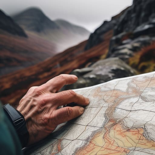
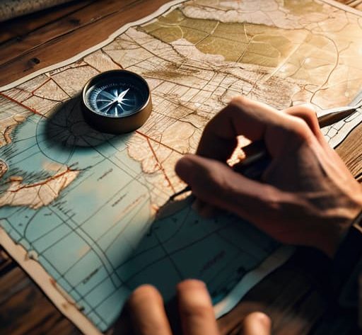
You can’t rely on a glowing screen to tell you where you are when the mist rolls in and the world turns into a grey smudge. I’ve stood on ridges in the Cairngorms where the visibility dropped to ten meters in minutes, and suddenly, that expensive GPS is just a light source, not a guide. This is where topographic map reading becomes your actual lifeline. It isn’t about memorizing every contour line; it’s about understanding the shape of the land. You need to be able to look at those brown lines and see the steepness of a crag or the slope of a corrie before you even step foot on it.
I spent three years as a ranger fixing paths in the Lake District, and the most common mistake I saw wasn’t a lack of gear, but a lack of orienting to landmarks. If you aren’t constantly checking your position against a visible spur or a distinct head of a valley, you’re just wandering. True map and compass skills aren’t something you pick up when the battery dies; they are the foundation you build while the sun is still out and the signal is strong.
Wayfinding Techniques That Dont Require a Satellite Link
When the screen goes black, you need to stop looking at your palm and start looking at the horizon. I’ve seen too many people freeze when their device fails because they’ve lost the ability to connect the lines on a page to the actual ground beneath them. One of the most reliable wayfinding techniques is simple orienting to landmarks. You aren’t just looking for a peak; you’re looking for the relationship between that crag, the bend in the river, and the treeline. If you can identify three distinct features, you can triangulate your position without a single blinking light.
It sounds basic, but it requires a specific kind of mental discipline. I always tell my clients that map and compass skills aren’t just for emergencies; they are for maintaining situational awareness when the fog rolls in and the world turns grey. If you can’t find a prominent ridge to follow, you’re just wandering. I spent three days last October in the Cairngorms with nothing but a compass and a soaked OS map, and the only thing that kept me on track was constantly verifying my bearing against the physical terrain.
Five ways to stop treating your GPS like a lifeline
- Pre-load your tracks and download the offline maps while you still have decent Wi-Fi at home. I’ve seen too many people standing on a ridge in the Lake District trying to download a 50MB map file over a single bar of Edge signal; it won’t happen, and you’ll be left staring at a spinning loading icon while the mist rolls in.
- Carry a dedicated power bank that you actually test before you leave. I’ve used the Nitecore NB10000 for three years straight on multi-day treks in wet, cold conditions, and it’s reliable, but a GPS eats battery faster than a hungry raven if the screen stays on or the signal is searching—don’t rely on your phone’s internal battery to do both jobs.
- Set your GPS to a “navigation-only” mode rather than a “scenic route” mode. If you’re constantly checking the screen to see every little bend in the path, you’re not actually looking at the landscape, and that’s exactly when you miss the subtle shift in the clouds or the fact that the ground under your boots has turned into a peat bog.
- Practice “sanity checking” your digital position against the physical world every thirty minutes. Don’t just glance at the blue dot and assume it’s right; look at the contour lines on your paper map, find a prominent feature like a crag or a stream, and confirm the GPS actually agrees with what your eyes are seeing.
- Keep your primary navigation device in an internal pocket, not an external one. I’ve spent twenty-two years watching people pull their electronics out in horizontal rain, only to find the charging port is sodden or the touchscreen is too wet to respond; keep it dry, keep it warm, and only take it out when you actually need to verify a coordinate.
The False Security of a Glowing Screen
A GPS is a brilliant tool for confirming where you are, but it’s a terrible way to decide where you’re going; if you haven’t already built a mental map of the terrain using your eyes and a paper chart, you aren’t navigating, you’re just following a digital breadcrumb trail that disappears the moment the temperature drops and your battery gives up the ghost.
Bridget Halloran
The Reality of the Ridge
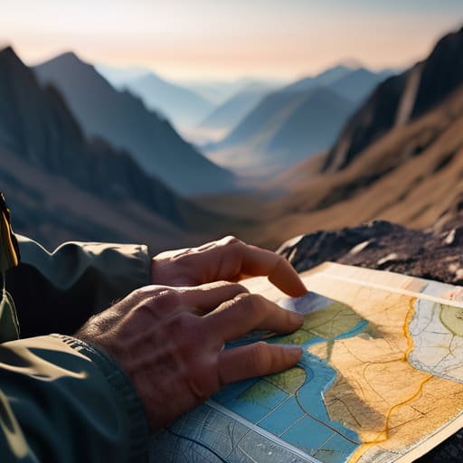
At the end of the day, the goal isn’t to abandon technology, but to stop being held hostage by it. You need to be able to pivot from a digital waypoint to a topo map the second the clouds drop or the lithium-ion fails. This means having your bearings established before you even click the power button, understanding the landscape through contour lines, and knowing how to use handrails and aim-off techniques when the visibility vanishes. I’ve seen too many people stare blankly at a frozen screen while the light fails, realizing too late that they haven’t actually been looking at the hills around them, just at a glowing rectangle.
There is a specific kind of quiet confidence that comes from knowing exactly where you are without needing a satellite to tell you. It’s the difference between being a passenger in the mountains and being a participant in them. When you master the fundamentals of navigation, you aren’t just preventing a rescue call; you are reclaiming the freedom to move through the landscape with intention. The mountains don’t care about your signal strength, but they will always respect a person who has done the work to prepare. Trust your tools, but always trust your training more.
Frequently Asked Questions
How do I actually check if my GPS is giving me a reliable position versus just a "best guess" when the signal gets patchy under heavy cloud or in a glen?
The quickest way to spot a “best guess” is to look for a jumping cursor. If your position is drifting or flickering on the screen while you’re standing still, the device is struggling. I always cross-reference my coordinates with a physical feature—a specific crag or a stream junction—on my map. If the GPS says you’re on the ridge but the topo shows you’re in a bog, trust the map. The electronics are lying; the terrain isn’t.
What’s the best way to manage battery life when I’m out on a three-day route in near-freezing temperatures?
Keep your electronics against your skin. I’ve spent three days in the Cairngorms with temperatures hovering at -2°C, and I’ve seen batteries drop from 60% to zero in minutes because they were left in a side pocket. Heat is life for a lithium battery. Keep your GPS or phone in an internal pocket close to your core, and if you can, turn it off entirely between waypoints. Don’t let optimism override the physics of cold.
If I’m using a handheld unit alongside a paper map, how often should I be stopping to physically cross-reference my position to make sure I haven't drifted off course?
Don’t wait until you’re lost to check the map; by then, you’re just managing a crisis. I make it a habit to cross-reference every time there’s a significant change in terrain—a sharp bend in a stream, a steep rise, or a junction. If the path is straight and featureless, check in every thirty minutes. I’ve spent too many afternoons watching people drift a hundred meters off-track because they trusted a glowing screen more than the actual ground under their boots.