I once spent four hours huddled under a granite overhang in the Cairngorms, watching a group of hikers stare blankly at a GPS unit that had just succumbed to the damp. They had all the latest tech, but they couldn’t read the contour lines on a paper map to save their lives. People seem to think a “complete guide to navigation” is something you can download as an app or buy in a shiny plastic casing, but the mountains don’t care about your battery life or your signal strength. Real navigation isn’t about following a blue dot on a screen; it’s about understanding the landscape before the mist rolls in and turns everything into a grey, featureless void.
I’m not here to sell you on expensive gadgets or complicated theories that only work in perfect sunlight. My goal is to give you the practical, unvarnished truth about how to actually find your way when the weather turns foul and the daylight is disappearing. I’ll cover the boring, essential stuff—the kind of skills that keep you from making that one optimistic decision that leads to a night on a ridge. This is about building a foundation of competence that works in horizontal rain, not just on a sunny Sunday stroll.
Table of Contents
The Art of Orienting a Topographic Map Without Panic
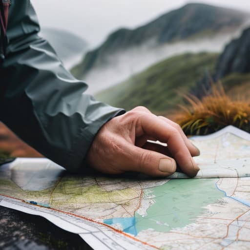
The biggest mistake people make isn’t failing to read the contour lines; it’s trying to figure out where they are while they’re already lost and moving. When the mist rolls in and the world turns grey, your first instinct is to keep walking to find a landmark. That is exactly how you end up miles off-course. Orienting a topographic map isn’t something you do once at the trailhead; it’s a constant, rhythmic habit. I’ve spent twenty years teaching that you should be aligning your map to the ground every time you stop for a drink or a breather. If you wait until you’re confused to find north, you’ve already lost the battle.
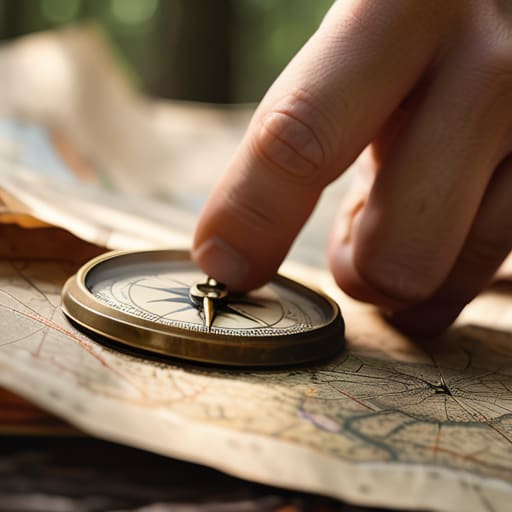
Lay the map flat, place your compass on it, and rotate the whole setup until the grid lines match the needle. It sounds simple, but doing this while standing on a wind-scoured ridge in a downpour is a different matter entirely. I’ve carried the Suunto MC-2 compass for fifteen years, through everything from the humid Cairngorms to freezing Scottish winters, and it’s never failed me. You need to trust the physical tool in your hand over the flickering screen of a phone. Digital devices are fine for a casual stroll, but when the battery dies in the cold, your analog skills are the only thing that matters.
Reading Compass Bearings When the Fog Rolls in
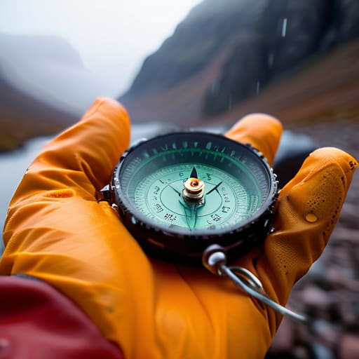
When the mist drops and the world shrinks to the three feet of ground immediately in front of your boots, your eyes will lie to you. You’ll think you can see the ridge line, or that the slope feels like it’s heading north, but your internal compass is useless in a whiteout. This is when reading compass bearings stops being a classroom exercise and becomes your only way out. I’ve spent many a Tuesday in the Cairngorms waiting for visibility to lift, and I’ve learned that you cannot rely on “feeling” your way along a contour. If you aren’t actively checking your bearing every few minutes, you aren’t navigating; you’re just wandering.
I’ve used my Silva Expedition compass in near-freezing, gale-force conditions for over fifteen years, and it has never failed me, unlike the battery-hungry GPS units I’ve seen people rely on when the cold sets in. When the fog rolls in, stop moving. Get your bearing, pick a distant object—even if it’s just a dark patch of heather—and move toward it. Relying on waypoint navigation techniques is fine when the sun is out, but in a true whiteout, you need to trust the needle and the map, not your gut.
The Small Decisions That Keep You From Getting Lost
- Stop relying on your phone as a primary tool; I’ve seen more than one group get stranded because a lithium battery decided it didn’t like 2°C and a damp mist, leaving them with a black screen and no idea where the nearest shelter was.
- Learn to read the ground, not just the lines on the map; if your map says you’re on a gentle slope but your shins are screaming from a steep scramble, you’ve missed a contour line or a local feature, and you need to stop moving immediately to re-orient.
- Practice “aiming off” when approaching a linear feature like a stream or a track; I’ve spent far too many hours walking a feature perfectly only to realize I’m miles from the junction I was looking for because I didn’t account for the margin of error.
- Check your bearings frequently, especially when the visibility drops; don’t wait until you’ve lost the path to reach for the compass, because by then, the panic has usually already set in and your ability to think clearly has gone with it.
- Keep a mental log of your progress against the daylight; navigation isn’t just about where you are on a grid, it’s about knowing if you have enough time to reach the next waypoint before the light fails and the terrain becomes a shadow.
The Cost of Being Optimistic
Navigation isn’t about knowing exactly where you are; it’s about knowing exactly where you’ll be when the visibility drops to five metres and your optimism runs out.
Bridget Halloran
The Margin Between Success and Survival
Navigation isn’t about mastering a single clever trick; it’s about the cumulative discipline of checking your position before you actually need to. It’s the constant, slightly tedious habit of orienting your map every time the terrain changes, trusting your compass bearings even when the fog makes the world feel like a white void, and—most importantly—having the humility to stop when the landmarks you expected simply aren’t there. I have seen too many people try to “wing it” through a plateau because they were too proud to admit they’d lost the contour line. Remember, your gear is only as good as your ability to use it when your hands are cold and the light is failing. Mastering these fundamentals is what transforms a chaotic scramble into a controlled journey.
At the end of the day, the goal of good navigation isn’t just to reach the summit or the campsite; it is to ensure you have the mental bandwidth to actually enjoy what you are seeing. When you aren’t constantly fighting the creeping anxiety of being lost, you can actually look up and spot a peregrine falcon on a ledge or notice the subtle shift in the heather. Navigation is the silent partner in every successful expedition. It provides the safety net that allows you to be present in the wild, rather than just surviving it. Respect the map, respect the weather, and always leave enough daylight for the way home.
Frequently Asked Questions
How do I keep my paper map from turning into a sodden, useless pulp when the rain is coming down sideways?
I’ve spent more hours than I care to count trying to read a map through a layer of condensation and grit. If you’re relying on a standard paper map in horizontal rain, you’re asking for trouble. I’ve used the Silva Map Case for five years in everything from Scottish mist to heavy downpours; it’s kept my OS maps legible even when I was soaked to the bone. Otherwise, use a waterproof map or a clear, heavy-duty dry bag.
At what point during a descent should I stop trusting my compass and start relying more heavily on my GPS or phone?
You shouldn’t be choosing one over the other; you should be using them to check each other. I’ve seen too many people stare at a GPS screen while walking straight into a peat hag because they stopped looking at the ground. Use the compass to stay on your bearing, and use the GPS to confirm you haven’t drifted. If the fog is thick and the terrain is breaking, trust the compass for direction and the GPS for position.
What are the most reliable ways to identify landmarks when the cloud base drops and everything looks like a grey blur?
When the cloud base drops, you stop looking for distant peaks and start looking at what’s under your feet. I’ve spent many a day in the grey, and the trick is finding micro-landmarks: a specific cluster of stunted rowans, a particular change in the slope’s gradient, or even the way a drainage line cuts through the peat. If you can’t see the horizon, rely on your pacing and your contour lines. Don’t guess. If the blur is total, stop and find a way to stay put.