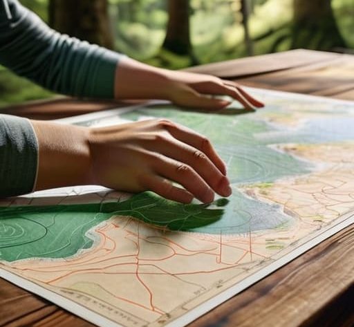
I remember a group I led back in 2014, somewhere in the Cairngorms, when the mist rolled in so thick you couldn’t see your own boots. One lad, bright enough and well-equipped, was staring at his map with a look of pure, polite confusion, convinced that if he just understood the math behind it, he’d be fine. He thought knowing how to read contour lines was about geometry and complex calculations, but that’s a dangerous way to look at it. In reality, those lines aren’t a math problem; they are a visual warning of how much energy you’re about to burn and how quickly the terrain is going to try to trip you up.
I’m not here to give you a classroom lecture or a list of academic definitions that won’t help when the wind is gusting at forty knots. Instead, I’m going to show you how to actually see the shape of the land through the ink. I’ll tell you what those lines mean for your knees, your daylight, and your safety when the weather turns sour. We’re going to strip away the fluff and focus on the practical reality of reading a map, because knowing how to read contour lines is often the difference between a successful summit and a very long, very cold night spent finding your way back.
Table of Contents
Mastering Topographic Map Reading Skills Before the Sun Sets
The real danger isn’t the map itself; it’s the false sense of security you get when the sun is high and the air is still. I’ve seen too many groups descend into a panic because they realized too late that a “gentle slope” on a 1:25,000 scale was actually a series of punishing, narrow ridges. Developing your topographic map reading skills means learning to look past the lines and start visualizing the physical squeeze of the landscape. You need to be able to translate those ink strokes into a mental model of the ground beneath your boots before you’ve even stepped off the trailhead.
When the light starts to fail, your ability to interpret terrain features becomes your primary safety margin. You shouldn’t be squinting at a page in a headlamp trying to figure out if a gap is a shallow dip or a steep ravine. If you can’t glance at the map and immediately sense the verticality of the next kilometer, you’re moving too fast. Mastering the relationship between map scale and contour density allows you to predict exactly how much energy you’ll burn—and how much daylight you’ll lose—before you hit that final, unexpected scramble.
Understanding Elevation on Maps to Avoid the Wrong Slope
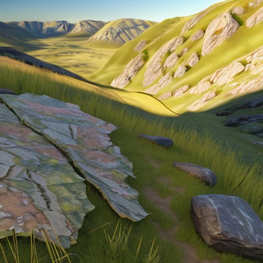
The biggest mistake I see—and I’ve had to pull more than one group out of a thicket because of this—is assuming a gentle slope on a map is a gentle slope in reality. You can’t just look at the lines; you have to look at the space between them. When you are interpreting terrain features, the distance between those lines tells you everything about the effort you’re about to expend. If the lines are spaced out, you’ve got a stroll. If they start huddling together, you’re looking at a scramble or a steep pitch that will eat your daylight faster than you think.
You also need to get a handle on your contour interval explanation before you step off the trailhead. Every map has a set vertical distance between those lines—maybe ten metres, maybe twenty. If you don’t know that interval, you have no idea if a small bump is a manageable rise or a sheer ledge. I’ve spent twenty-two years watching people misjudge a ridge because they didn’t realize the density of those lines meant they were walking into a vertical wall. Don’t let a lack of scale be the reason you’re caught on a slope after dark.
Five Ways the Map Tries to Lie to You
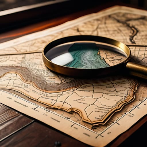
- Watch the spacing, not just the numbers. If those lines are huddling tight together, you aren’t looking at a stroll; you’re looking at a scramble or a steep pitch that’s going to eat your daylight and your knees. I’ve seen too many groups get caught on a vertical bit of terrain because they saw a ‘gentle slope’ on a low-res map and didn’t realize how fast those contours were bunching up.
- Learn to spot the ‘false summit.’ A contour line might show a peak, but if there’s a dip and then another rise immediately following it, you’re looking at a ridge system, not a single destination. I’ve spent many an hour climbing a slope only to realize the real summit is another two hundred meters of elevation away, tucked behind a fold in the land.
- Don’t ignore the contour interval. Before you even step off the trailhead, check what each line actually represents—is it ten meters or fifty? If you’re working with a fifty-meter interval, the map is going to look much flatter than the reality of the terrain, and that’s exactly where optimistic decisions start to turn into mistakes.
- Look for the V-shapes to find your drainage. When contour lines bend in a ‘V’ shape pointing uphill, you’re looking at a valley or a stream bed. If you’re planning a route, remember that these are the places where water collects and where the ground gets boggy; I’ve spent far too many days navigating knee-deep peat because I followed a line that looked easy but was actually a seasonal runoff channel.
- Check the ‘shape’ of the slope for stability. Wide, sweeping contours suggest a gradual incline, but sudden, jagged shifts in the line patterns often indicate cliffs or crags. I always look for those sharp, irregular breaks in the pattern; if you’re carrying a heavy pack and the map shows a sudden change in contour density, you need to be prepared for a technical move, not just a walk.
The Deception of the Flat Line
A contour line is just a bit of ink on a page until you’re standing on a scree slope in a whiteout, realizing those tightly packed lines aren’t just a suggestion of height—they’re a warning that your easy afternoon just became a scramble for survival.
Bridget Halloran
The Map is Not the Mountain
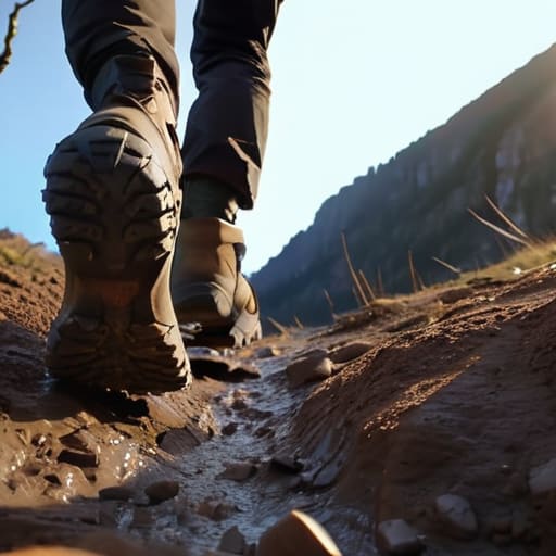
At the end of the day, reading contour lines is about more than just identifying where a hill peaks; it is about anticipating the physical reality of the ground beneath your boots. You need to see those tight, crowded lines and realize that what looked like a gentle stroll on a screen is actually a sustained, knee-jarring scramble that will eat up your daylight faster than you think. Remember to look for the spacing to judge slope, identify the depressions that might turn into boggy traps after a week of rain, and always cross-reference those lines with your estimated pace. If the map shows a sudden tightening of contours and your energy is already flagging, that is your signal to reassess your route before the light fails.
Maps don’t change, but the conditions certainly do. I’ve seen plenty of capable people get caught out because they read the lines perfectly but ignored the reality of a shifting weather front moving over those very ridges. Use the contours to build a mental model of the terrain, but keep your eyes on the horizon and your ears tuned to the wind. The goal isn’t just to reach the summit; it’s to have the situational awareness to know when the mountain is asking you to turn back. Respect the geometry of the land, and it will likely bring you home safely.
Frequently Asked Questions
How do I tell the difference between a steep scramble and a gradual slope if the contour lines look similar at first glance?
Look at the spacing, but don’t trust your eyes alone. If those lines are tight, you’re looking at a climb. But if they’re huddling close and then suddenly break into a pattern of tiny, jagged “teeth,” you’re likely looking at a scramble or a rocky outcrop rather than a smooth slope. I’ve seen too many people treat a steep, rocky ledge like a grassy incline; check the map for those extra detail lines—they’re the difference between a walk and a struggle.
What should I do when the map shows contour lines but the actual terrain looks completely different due to scree or loose rock?
The map isn’t lying, but it is simplified. A contour line tells you the height, not the stability. I’ve seen groups stare at a gentle slope on a map, only to find themselves waist-deep in shifting scree that makes every step a gamble. If the lines look fine but the ground is moving under your boots, trust your eyes over the paper. Slow down, test your footing, and if it looks too unstable to cross safely, turn back.
How can I use contour lines to estimate how much time I'll actually need to reach a ridge before the light starts to fail?
Don’t just look at the distance; look at the density. If those contour lines are packed tight, your pace isn’t going to match your flat-ground expectations. I’ve seen too many groups lose an hour because they planned for a mile of walking and forgot they were actually climbing five hundred meters of vertical gain. If the lines are huddling together, cut your estimated time by thirty percent. It’s better to reach the ridge early and wait for the light than to be halfway up a scramble when the sun dips.