I remember standing on a saturated ridge in the Cairngorms, watching a group of otherwise capable hikers stare blankly at a piece of waterproof paper while the mist swallowed the valley whole. They had the latest GPS handhelds with glowing screens and pre-loaded tracks, but the moment the batteries succumbed to the damp, they were effectively blind. People think learning how to read a map and compass is about memorizing symbols or passing a classroom test, but it isn’t. It’s about the quiet, steady confidence of knowing exactly where you are when the world around you becomes a featureless grey void.
I’m not here to give you a theoretical lecture or a list of expensive gadgets that will fail you when the temperature drops. Instead, I’m going to show you how to actually use these tools when your hands are cold, your visibility is ten metres, and your brain is starting to fog. I will focus on the practical, often unglamorous reality of orienting yourself to the terrain and trusting your instruments over your intuition. This is the no-nonsense version of navigation—the kind that keeps you on the path and out of a search-and-rescue log.
Table of Contents
Finding Your Location on a Map Before Things Go Sideways
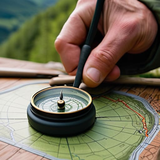
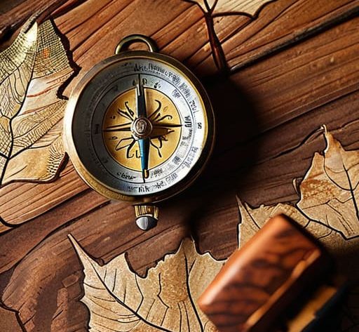
Before you even look for where you are, you have to make sure the map is actually looking at the world the same way you are. I spent three years as a ranger fixing paths in the Lake District, and I can’t tell you how many people I’ve found wandering in circles because they hadn’t started by orienting a map to north. If your map is turned sideways relative to the ground, every landmark you think you see will be a lie. Use your compass to align the grid lines with the magnetic north; it’s a five-second job that prevents about five hours of misery.
Once you’re oriented, stop looking at the lines and start looking at the shape of the land. You aren’t just looking for a dot; you are navigating terrain features like a specific crag or a distinct bend in a stream. I’ve sat in a damp hollow on a ridge, waiting for a cloud to break just so I could match a contour pattern to the slope in front of me. Don’t guess. Find three distinct things—a peak, a valley, and a junction—and see if they intersect where you think you’re standing.
Reading Topographic Map Symbols to Understand the Real Ground
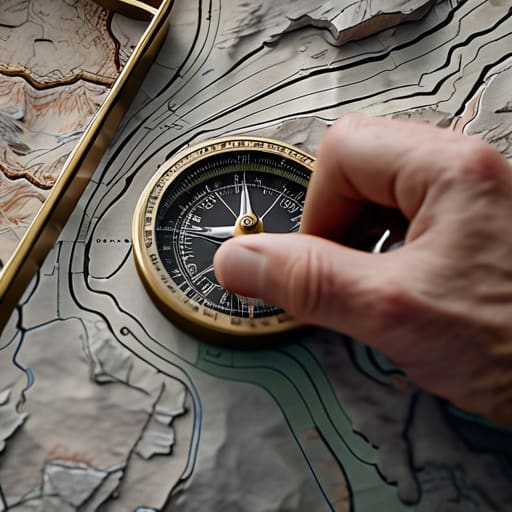
A map isn’t just a picture; it’s a coded language of the landscape, and if you can’t translate it, you’re essentially flying blind. Most people look at contour lines and see squiggles, but I see the actual effort required to get from point A to point B. Tight, crowded lines mean a steep, lung-burning scramble; wide, spaced-out lines mean a gentle stroll. When I’m navigating terrain features in the Cairngorms, I’m not just looking for the summit; I’m looking at the shape of the corries and the steepness of the flanks to decide if my knees can handle the descent or if we need to find a more gradual approach.
You also need to look beyond the lines. Those little blue splashes aren’t just “water”—they are seasonal burns that might be a trickle in August but a raging torrent after a heavy October downpour. I’ve seen too many groups get stuck because they assumed a marshy patch on the map was just a bit of damp grass. Understanding topographic map symbols means knowing the difference between a solid line and a dashed one, and realizing that what looks like a clear path on paper might actually be a boulder field that will take you three hours to cross.
The difference between a plan and a disaster
- Stop treating your compass like a novelty; you need to orient the map to the ground before you even start walking, or you’ll spend half your day walking toward a valley when you meant to head for the ridge.
- Learn to trust your contour lines over your eyes, because when the mist drops to ten metres, the “obvious” path usually disappears, and the only thing telling you that you’re about to walk off a ledge is the shape of the lines on your paper.
- Always carry a physical map in a waterproof case, not just a phone with an offline app; I’ve spent too many evenings watching people freeze in the dark because their battery died or the screen cracked when they slipped on a wet slab.
- Practice taking bearings on flat ground first, because trying to figure out magnetic declination or how to hold a compass steady while your hands are numb and the wind is gusting at 40 knots is a recipe for a very wrong decision.
- Use your map to check your timing, not just your direction; if the contours show a steep ascent that your itinerary ignored, you need to recalculate your arrival time before you lose the daylight you were counting on.
The gap between a plan and a crisis
A map tells you what the ground looks like, but a compass tells you where you’re standing in relation to the mistake you’re about to make; once the mist hits the ridge and the landmarks vanish, that little needle is the only thing in the world that isn’t lying to you.
Bridget Halloran
The reality of the ridge
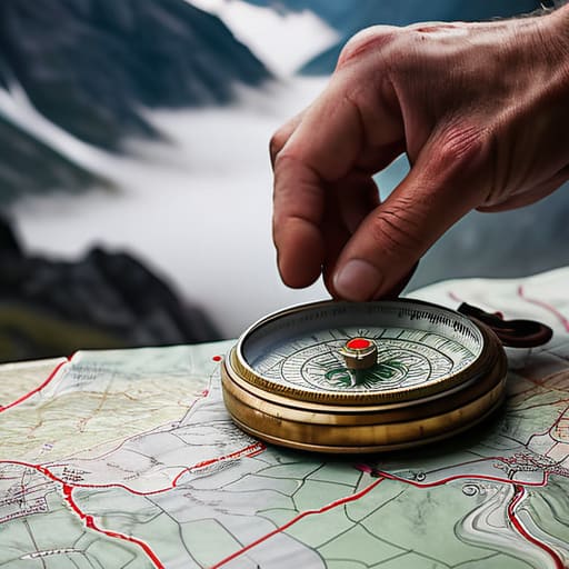
At the end of the day, reading a map and using a compass isn’t about memorizing symbols or mastering a technical skill; it’s about building a mental model of the terrain before you actually step into it. You need to be able to look at those contour lines and see the steepness of the slope, or use your compass to confirm that the ridge you’re walking along is actually heading where you think it is. It’s easy to feel confident when the sun is out and the visibility is ten kilometers, but the real test happens when the clouds drop below the summit and your landmarks vanish. Don’t wait until you’re feeling that first prickle of panic to start checking your bearings. Practice these skills when you don’t need them, because by the time you actually do, your hands might be cold and your focus will be split.
There is a specific kind of quiet confidence that comes from knowing exactly where you are, even when the world around you has turned into a grey, featureless void. It’s not the adrenaline of a scramble or the thrill of a summit view—it’s something much more grounding. When you master the map and the compass, you aren’t just navigating a trail; you are reclaiming your agency from the weather. It allows you to make the hard, sensible decisions—like turning back before the light fails—without the heavy weight of uncertainty. The mountains will always be there, and they don’t care if you’re lost, but knowing your way home makes the whole experience infinitely more rewarding.
Frequently Asked Questions
How do I actually use a compass to find a bearing when the terrain is too steep or uneven to walk in a straight line?
You don’t walk a straight line; you walk a series of connected legs. When the terrain gets technical or steep, you pick a distinct feature—a specific boulder, a lone tree, or a bend in a stream—that sits on your bearing. Aim for that. Once you reach it, reset. I’ve spent many a wet afternoon in the Cairngorms doing exactly this. It’s slower, and it’s tedious, but it beats wandering aimlessly into a peat hag.
What do I do when my map says there’s a path, but the actual ground looks completely different due to recent weather or erosion?
Maps are a snapshot of a moment that has already passed. I’ve seen a perfectly drawn trail vanish overnight after a heavy spate or a week of saturated ground. If the map says “path” but you’re looking at a scree slope or a bog, trust your eyes, not the paper. Stop, reassess your route, and look for the contour lines. If the terrain doesn’t match the symbol, the map is lying; your safety isn’t.
How do I account for magnetic declination without getting completely lost in my calculations?
Don’t overthink the math while you’re standing in a gale. I’ve spent fifteen years adjusting for declination, and the trick isn’t a complex formula; it’s habit. I use a Silva compass with the declination scale already set for the local area. If you’re using a manual baseplate, just remember: map bearings and magnetic bearings aren’t the same thing. Add or subtract that tiny error before you step off, or you’ll find yourself a kilometer off-course by sunset.