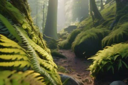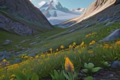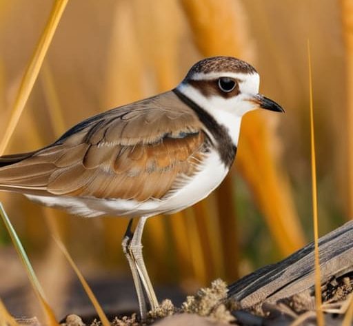
I remember standing on a ridge in the Cairngorms three years ago, wind coming in sideways and my boots feeling like lead, only to find a fresh diversion sign blocking the only sensible line to the summit. I had planned that route for weeks, but a pair of peregrines had decided that specific crag was the perfect place to raise a family. It’s one of those moments where you realize that knowing how nesting seasons affect access isn’t just about reading a guidebook; it’s about the frustration of hitting a dead end when you’re already cold, tired, and low on daylight.
I’m not here to give you a lecture on conservation ethics or recite a government white paper. Instead, I want to talk about the practical reality of what happens when the birds take over the landscape. I’ll be sharing what I’ve learned from twenty-two years of watching these cycles, from identifying which closures are temporary to knowing when a path is actually safe to traverse. I won’t sugarcoat it: some routes will be closed, and you’ll have to turn back, but I’ll help you plan for it so you aren’t caught out.
Table of Contents
Seasonal Trail Closures Explained Why the Map Changed Overnight
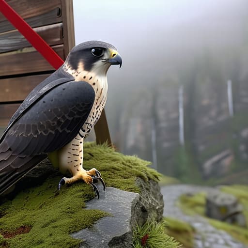
There is nothing quite as frustrating as checking a digital map on a Tuesday, seeing a clear line to a ridge, and finding a physical barrier or a red line on the OS map by Thursday. It feels personal, but it isn’t. Most of these seasonal trail closures explained by the park authorities aren’t arbitrary; they are reactive. I’ve spent years watching the weather shift a landscape, but the shift in land use during spring is even more sudden. When a pair of peregrines or a group of curlews settles in, the rules of the game change instantly to ensure we aren’t inadvertently causing a local extinction event.
These closures are usually focused on protecting ground nesting birds, which are notoriously vulnerable to being flushed from their sites. Once a bird is spooked, it often abandons the nest, leaving eggs exposed to the elements or predators. It’s a chain reaction. I’ve seen trails diverted around a single patch of heather just to give a hen grouse some breathing room. It might add three miles to your loop and a fair bit of elevation, but that’s the price of keeping the landscape working.
Wildlife Conservation Land Closures and the Reality of Turning Back
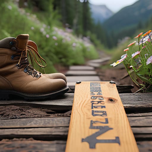
There is a specific kind of frustration that sets in when you’ve spent three months training for a ridge walk, only to find a fresh signpost diverting you two miles around a valley. I’ve stood there, boots caked in mud, staring at a closure notice and feeling that internal tug-of-war between my planned route and the reality of wildlife conservation land closures. But after twenty years of seeing how quickly a panicked bird can abandon a nest because of a stray dog or a hiker cutting a corner, that frustration usually settles into a quiet acceptance.
The truth is, these restrictions aren’t arbitrary hurdles; they are about protecting ground nesting birds that are often invisible until they are gone. When a hen grouse or a curlew feels pressured by human presence, they don’t just move slightly to the left; they often abandon the brood entirely. It’s a hard pill to swallow when you’re tired and the weather is turning, but turning back or taking the long way is often the only way to ensure these habitats remain viable for next year. It’s less about following rules and more about recognizing that we are guests in a very fragile, very busy workspace.
Five ways to avoid hitting a dead end when the birds are nesting

- Check the local ranger notices, not just the general trail maps; I’ve spent too many afternoons staring at a fresh ‘Area Closed’ sign because I relied on an app that hasn’t been updated since last autumn.
- Build a ‘Plan B’ route into your day that stays well away from cliff edges and steep gullies; if you’re tracking a specific ridge walk, have a lower-level valley route ready so you aren’t forced to backtrack miles in the dark when you hit a closure.
- Learn to read the signs of disturbance yourself; if you see a bird circling low or hovering near a ledge, you’re already too close, and it’s better to pivot now than to be the reason a nesting pair abandons their eggs.
- Don’t treat a closure as a personal inconvenience to be skirted; I’ve seen people try to ‘duck’ around a cordoned area through the scrub, but that’s exactly how you end up trampling sensitive ground or, worse, getting lost in terrain you aren’t prepared for.
- Keep your group’s expectations managed before you leave the car; it’s much easier to explain a detour at the trailhead than it is to deal with a frustrated, tired group when you’ve hit a blocked path three hours into a climb.
The cost of a detour
I’ve stood on a ridge line, watched the clouds drop, and realized the only way to the summit is through a closed nesting zone; it’s a bitter pill to swallow when you’ve spent four hours climbing, but I’d much rather turn back and face a long walk in the rain than be the reason a peregrine loses its brood because I thought my schedule was more important than their survival.
Bridget Halloran
The view from the ridge
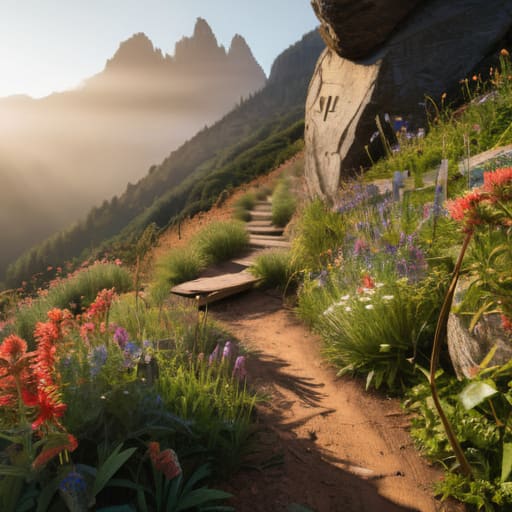
At the end of the day, navigating nesting season is about more than just checking a map for red lines or temporary closures. It is about understanding that the landscape is a living, breathing thing, not just a playground for our weekend ambitions. Whether it is a sudden trail diversion to protect a peregrine pair or a complete land closure to safeguard a golden eagle’s territory, these restrictions are the necessary friction that keeps the ecosystem functioning. I have spent twenty-two years seeing how quickly a habitat can degrade when we push too hard in the wrong places, and I have learned that respecting the boundary is far more rewarding than forcing a route that shouldn’t be taken.
I know it can feel frustrating when you have spent weeks planning a specific ascent only to find the path blocked by a conservation sign. But there is a quiet kind of satisfaction in being the person who turns around, adjusts the plan, and finds a different way. The mountains aren’t going anywhere, and neither are the birds. If we can learn to embrace the unpredictability of the wild, we become better hikers, better leaders, and better guests in these spaces. The best kind of adventure isn’t always the one that follows the line on your GPS; sometimes, it is the one that honours the silence of the ridge.
Frequently Asked Questions
How can I tell if a trail closure is a temporary seasonal restriction or a permanent change to the route?
Check the signage first; if it mentions “seasonal” or specific dates, it’s temporary. For permanent changes, I look at the OS maps or updated digital routes. If a trail is gone from the map entirely, it’s likely a permanent reroute due to erosion or habitat loss. I’ve seen many “temporary” closures stretch into months because a raptor pair decided a specific ledge was perfect, so always assume the restriction is real until you see the sign come down.
What should I do if I realize I've accidentally wandered into a restricted nesting area mid-hike?
If you see a sign or a sudden diversion you weren’t expecting, don’t try to “skirt” the edge to save time. I’ve seen too many people think they can just nip around a closure, only to end up spooking a pair of peregrines or, worse, losing the trail in a boggy patch. Stop, check your map, and backtrack to the last marked junction. It’s frustrating, but a ten-minute detour is better than a fine or a disturbed nest.
Are there specific apps or local ranger updates that actually track these closures in real-time?
There isn’t one magic app that covers everything, and that’s the problem. You might find some local park authority sites or specific conservation apps like iNaturalist, but they aren’t real-time closure trackers. Honestly, the most reliable method is still the old-fashioned way: checking the official National Park website or the specific landowner’s social media feed the night before. If you’re in a serious area, I always call the local ranger station. It’s a five-minute call that saves a three-hour detour.